we integrate advanced technologies with field-proven methodologies
Technology & Capabilities
Fifan Jaya Makmur is a trusted provider of permit consultation and technical survey services, primarily serving the energy, maritime, and infrastructure sectors. We deliver strategic and integrated solutions by combining reliable expertise, technological innovation, and strong partnerships.
Why Our Technology Matters
01
Efficiency
Our technologies enable faster, more streamlined data acquisition processes, significantly reducing time spent in the field and accelerating project timelines without compromising quality.
02
Accuracy
We deliver high-resolution, geospatially accurate data that supports precise analysis and decision-making, helping clients reduce errors and plan with greater confidence.
03
Safety
By using unmanned systems such as USVs and drones, we minimize the need for human presence in hazardous environments, ensuring a safer working process for field operations.
04
Sustainability
Our solutions support environmentally responsible practices by enabling better impact assessment, optimized resource use, and informed planning that aligns with sustainability goals.
Bathymetric Survey Tools
Multibeam Echosounder
Captures detailed seabed topography for ports, channels, and offshore structures.
Side Scan Sonar
Provides high-resolution images of the seafloor, ideal for identifying underwater objects.
Sub-bottom Profiler
Detects and analyzes sub-seafloor sediment layers, used for dredging, cable laying, and geological studies.
Magnetometer
Measures magnetic anomalies to detect submerged metal objects or geological formations.
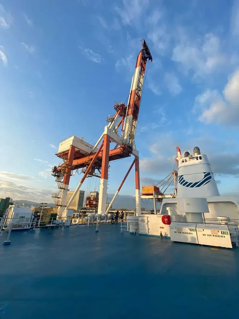
Marine & Offshore Support
Unmanned Surface Vehicles (USVs)
Autonomous survey platforms used in shallow or restricted-access waters, increasing efficiency and safety.
Underwater Positioning Systems (USBL)
Ensures precise subsea navigation during inspections or construction.
ROV (Remotely Operated Vehicle)
Supports underwater inspection, pipeline monitoring, and asset documentation.
Land & Digital Survey Technologies
Digital Twin & 3D Laser Scanning
Captures detailed geometry of assets or sites for modeling, integrity management, and future planning.
UAV / Drone Mapping
Aerial surveys for topography, volume calculation, and infrastructure mapping.
GPS & Mobile Mapping Systems
Accurate geolocation and data acquisition for land development and construction planning.
Data Processing & Analysis
Our capabilities go beyond data collection. We offer end-to-end processing for:
3D Modeling (Isometric, Topography, Mesh)
Digital Terrain Model (DTM) & Digital Surface Model (DSM)
Asset Integrity Assessment
Pipeline & Seabed Profiling
Sediment Analysis & Volume Estimation
Artificial Intelligence for Pattern Recognition and Decision Support